September 20, 2016

Traveling east on US HWY 2, has been a long journey. We picked up HWY 2 shortly upon entering North Dakota. First along HWY 2, there were the oil and gas derricks, and the road construction. Then we mellowed out with rolling green hills, rows of windbreak trees, and water, water, water. Now, as we enter western Minnesota, we are traveling through flat farmland. We miss the water already. Further into MN, we again pass through some rolling emerald hills, tall evergreen trees, and lakes accompany us on both sides of the road. We stop for gas at a wayside station and Patti goes inside to prepay for our gas. Patti and I have both had our debit cards compromised on our travels, so we now go inside to pay first. The lady behind the counter thought we were crazy… she said we just had to push the green button that reads, “pay inside” and then after we pump our gas we go inside and pay. That’s a very novel idea. It was like stepping back in time (when Route 66 was the main through-fare east) to when there were still “full service” stations that washed your windows and checked your oil. Nice to be trusted again…
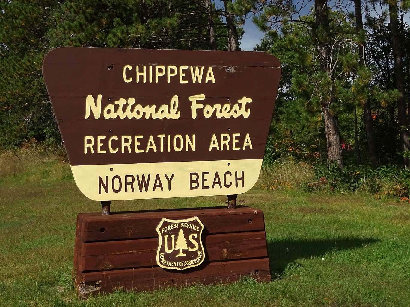
Our destination for the night, maybe two, is the Chippewa National Forest in Cass Lake, MN. Cass Lake is about 140 miles east of Turtle River.
History of Cass Lake
Cass Lake, just northeast of the City of Cass Lake, is the largest of the eight lakes that make up the Cass Lake Chain of Lakes and the eighth largest lake in Minnesota. The scenery is incredible on the 15,596-acre lake with 26.9 miles of forested shoreline, sandy beaches and depths down to 120 feet deep in areas. Cass Lake is known for its fine populations of walleye, muskie, and a variety of pan fish.
The Chippewa National Forest was the first National Forest established east of the Mississippi River in 1908. Originally known as the Minnesota National Forest, the name was changed in 1928 to honor the original inhabitants. The Forest has a rich history, ranging from prehistoric times to the early logging era and Civilian Conservation Corps (CCC) days.
The Forest boundary encompasses about 1.6 million acres. Water is abundant in the Chippewa, with over 1,300 lakes, 925 miles of streams, and 400,000 acres of wetlands. The Forest’s landscape is a reminder of the glaciers, which blanketed northern Minnesota some 10,000 years ago.
Lost Forty
The Lost Forty area consists of virgin red and white pines that were untouched by the early loggers due to an error that incorrectly mapped the area as a lake. A one mile self guided interpretive trail and picnic area are at the site. If you see the Lost Forty you can see what northern Minnesota looked like before loggers came to the area in the late 1800’s. We wanted to see this area but time got away from us, next time…
Chippewa National Forest, Norway Beach Campground

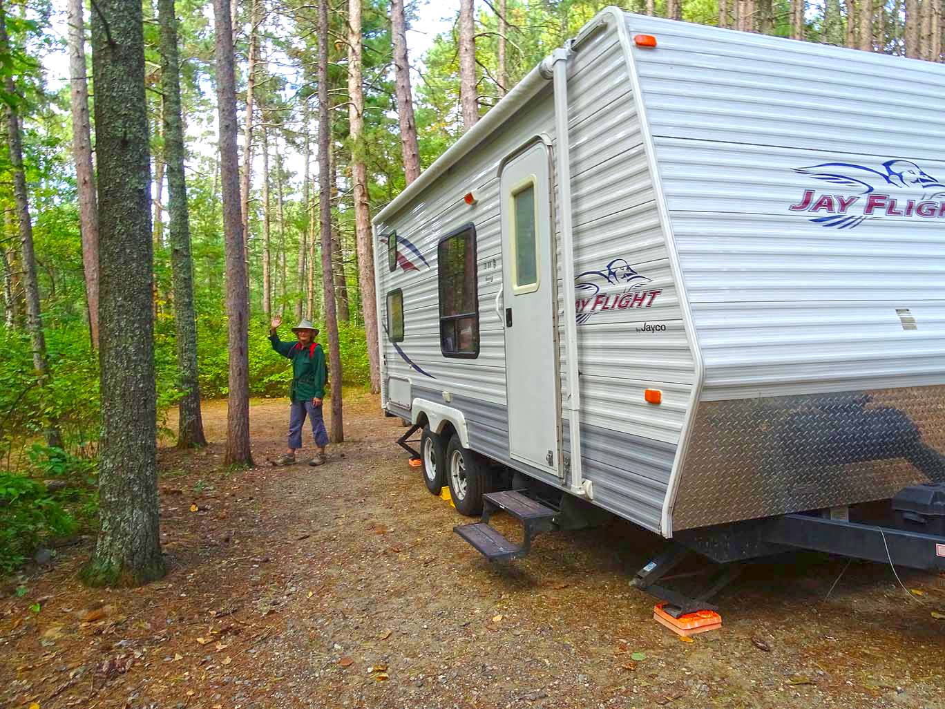
We arrived at our site around 2pm, finding that most of the campground is closed. Just one loop is open and the entire Chippewa National Forest Campgrounds will be closed for the season after this weekend. The Visitor Center and the Norway Beach Resort are already closed. We did drive over to the Resort hoping for lunch but no one was around so we just walked around to see what we could see… There were about 20 small cabins that were right on the beach front and you could rent pontoons, canoes, paddle boards, kayaks and hydro bikes, which looked very interesting but seemed a bit too top-heavy to me. But that reminds me, I still want to replace my bicycle that got ripped off in Palm Springs, CA!!! Maybe now’s a good time to buy a bicycle with winter coming on…
First night in Minnesota – quiet night in a very heavily wooded forest where that old adage “you can’t see the forest for the trees” is definitely the phrase at play. Such a dark and quiet night, despite the rising of the waning moon.

Sounds in Pixels
“I wish I could capture the forest sounds in pixels for all of you to enjoy as we do.
The patter of drizzling raindrops on the oak and maple leaves.
The quaking of the leaves telling stories of the campers’ escapades.
The chirping of birds telling where the best seeds and worms are found.
The chatter of the squirrels playing hide ‘n’ seek with their acorns.
And the deafening quiet that exudes wonder and oneness…
Knowing, “We are not alone and definitely not in control” out here.” (Sameah)
The sun does not get up early in this part of the northern hemisphere. The sun dapples through the trees around 7am: glad we’re taking our Vitamin D! I’m not sure if the weather will permit my doing yoga this morning; God knows our Rosalita is too small to do any yoga inside. I venture outside to do ‘Yoga between the raindrops’; will it clear or rain harder? As I begin the Sun Salutation I say to the rain, “If you want me to do more than one rep of Sun Salutation, then the rain has to let up”. Immediately the rain started coming down harder – I laugh, as I continue the first Sun Salutation rep. Upon finishing, the drizzle stopped – I laugh again and finish the other 2 reps, then I proceed to do more poses. Thank you to the Rain elemental – or is it the Yoga elemental I should thank?
After breakfast, banana pancakes – “yum”; we check out the town of Cass Lake. Today we are in search of a Post Office and Laundromat. We found both, but we didn’t really want to spend over an hour watching the clothes go round and round. Yet sometimes it’s a necessity.
Not much to the town of Cass Lake; most resorts and establishments are closed for the season, maybe they reopen for winter sports but now it’s even hard to find a restaurant that is open. We took a drive around the Pike Bay Loop, a funny name for a drive when you can’t see the bay for the trees… So we did not even finish the drive for we can see the same kind of trees at our campsite.
Star Island

Star Island is one of the most unique features of the Chippewa National Forest. Named for its star shape by the Ojibwa Indians, “Star Island” is the largest of four islands in Cass Lake. Star Island has over eight miles of shoreline and encompasses 980 acres of both public land and private homes. The Chippewa National Forest is responsible for managing more than three-fourths of the island for public, scenic, and recreational use. Unique to Star Island is the “Ten Section Area”, which was one of the earliest designated portions of the national forest. The old growth trees here are a favorite with bald eagles. The earliest residents of Star Island are believed to be the Woodland people about 1,500 years ago.
Lake Windigo, sitting inside Star Island, is the only ‘spring fed’ lake within a ‘river fed’ lake in the northern hemisphere. The lake covers 199 acres with a maximum depth of 25 feet.
Now doesn’t this sound like a wonderful place to visit? Well, it did to us! When we ask for directions at the only café open in town, we are told that it is only accessible by boat or air. Dah, Star Island, you think they could have put that in the literature. After all, we could access Graham Island by car in North Dakota. So we could not venture to the Island and photograph the Bald Eagles or see the lake inside the island – next time we’ll rent a boat… and a captain!
As the sun sinks slowly past Cass Lake and the unreachable Star Island, we sit by our campfire having dinner: my dinner is swordfish, homegrown tomatoes and avocado; Patti’s dinner is Lasagna. We do love our campfires, especially on our last night in a forest-canopied haven.

Beautiful pictures and commentary. Your blog before this – TurtleRiver … no pictures would open. We leave for Custer, Siuth Dakota in the morn.
LikeLike
Thanks for the feedback. I will go back in and check Turtle River, must have drawn its head inside shell. Have a great trip, don’t touch the buffalo!
Sent from my iPhone
>
LikeLike