May 15, 2016
Today, Sunday the 15th, Ted Turner Expeditions offered a hiking ‘tour’ for 6 lucky guests to get a view of Hidden Canyon a part of the Armadaris Land Grant, now owned by Ted. The Armadaris Ranch is 362,885 acres and Mr. Turner is the 6th owner, our tour guide informed us.
For the tour we met just down the block from the Passion Pie Cafe, a “dangerous” meeting place for all of us. Personally, I purchased a Passion Pie Apricot Almond bar, and put it in my backpack just in case… We walked up the street half a block and piled into a bright Red SUV. It was a short 15 minute drive to our starting spot, where we crossed the Rio Grande. There was no ‘trail’ marker but there was a definite trail once we were in front of it. The hike was billed as ‘moderate – strenuous’ so people would know what they were getting into, I suppose. So hoisting my Camel-Pac with plenty of water in tow, I/we set out to find the Hidden Canyon.
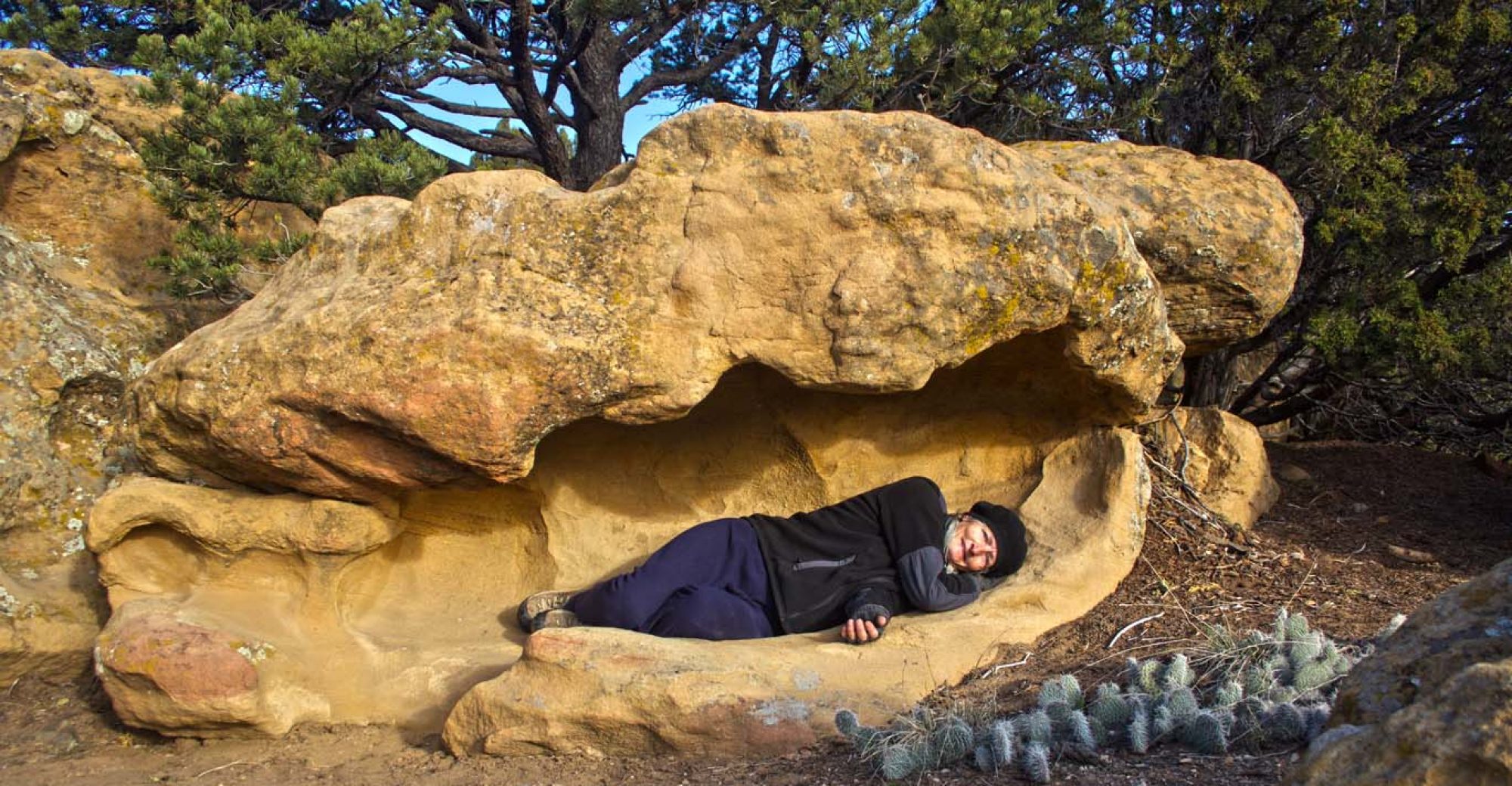
Our tour/hike guide was wonderful, friendly and quite informative, especially when you factor in that he was a fairly recent NY transplant. Our guide was the youngest of us all. All were locals except for myself. When they would ask where I was from, I would say we sold our house and were looking for a new place to put down roots: not too cold, no snow and not too hot. Some react to the novel idea of being ‘home-free’ with respect, wonder, or “are you just plain crazy”?!?!? But most of this group were just curious, how that is and how it works – the home free thing. As far as strenuous goes, there were only 2, maybe 3, spots where we had to scramble up some rocky area, and at these spots there were ropes attached to the rock that you could use to help yourself up. Very safe.
The hike was 1 1/2 hour total with a 15 min. drive each way and a nice morning’s outing. Everyone came prepared with appropriate clothing, hats, shoes, water and some even had snacks like me, from Passion Pie! The hike was as it was advertised, the hike was mostly moderate with a few strenuous sections.
As we made our ascent, the town of Truth or Consequences spread out beyond the Rio Grande. The morning was warm, sunny with a bright blue sky blanketing T or C. The perspective of this small town began to get larger – the higher we climbed. It was really nice to see this vista of the town. The terrain was very similar to the Spring Canyon hike I did in Rock Hound State Park, when I climbed to Lovers Leap, about a week ago. However, the Spring Canyon hike had a lot more strenuousness in its ascent, plus it was a much hotter day. On todays’ hike there were the ever present cactus, some of which were still in bloom, desert willow (which is in the oleander family), shrubs and yucca plants scattered around. The geological formations were important and dated the period in which this area was formed; but all that is beyond my interest level today.
I, at one point, asked our guide if TTX (Ted Turner Expeditions) did this hike year round and he said yes. I also asked if it was ‘free’ all year as well: he said, “no”. I did not inquire what the fee was normally. Later as Patti and I toured the Sierra Grande Spa in T or C (recently acquired by Ted Turner) we found out the exact cost of our “free” hike and it was much more than I would have paid for this trip. I very much enjoyed the hike and chatting with the locals about their opinions of living in this town – because Patti and I are interested in checking out Truth or Consequences, maybe for the winter or maybe to buy something around here.
As we departed from the hiking excursion, two of the residents asked if I had seen the mural at the post office in T or C. I said we had mailed some cards from the post office but didn’t see any mural. They informed me there are two post offices, one in the Historic district and one further out in the ‘newer’ section of town. The mural is in the ‘Historic’ post office.
So before I venture to the ‘real dam’ I drove by the Historic post office and I went in to see the mural.
In 1938, Boris Deutsch’s design for a mural in the Hot Springs, NM post office (the former name of Truth or Consequences) won a national competition sponsored by the Section of Fine Arts of the US Treasury (under the New Deal legislation). Deutsch painted “Indian Bear Dance” in 1939. Local folk lore says the original design had a train in the background but the Native Americans took offense so Boris took the train out of the mural to honor their culture.
After investigating the mural, I met up with Patti, who had been in and out of the Passion Pie Cafe while waiting for me to return. Patti suggested we have a bite to eat before leaving town. So, this time, at the Passion Pie Cafe, I ordered their Albacore/Tuna sandwich and Patti had another slice of quiche (Patti loves quiche and is getting her fill of quiche, before the drought begins again and we leave T or C) – both scrumptiously delicious, yet again!!!
Now, with our bellies full we set out to find the real dam. What we found in the last post was NOT the Dam that is registered on the Historic Registry. We had to go completely out of the park to find this dam located south on hwy 51 – just a few miles. Traveling tandem to the Rio Grande – the dam rises magnificently before us. Not only is this an irrigation system – it is a power plant for the surrounding area. It was very hard to get a picture of the dam without all the power lines in the center or most captivating part of the photograph. That was just the beginning…
Reaching the top part of the dam – we see the immense body of water held back by this mighty dam. To think that in 1911 they took on this magnificent architectural feat: I wonder how long the planning sessions were… Just up the road a piece, were the remains of what we think was the hospital and other skeletons of residences of that bygone era. Still standing and still in operation, we assumed, was a restaurant and bar with a large patio and steps leading down to the waters edge, although it is blocked off at this point in time. Down the drive were small casita type cabins with a view to the lake and the Butte of the Elephant. Beyond this row of tiny cabins was an RV camping area – circle up the wagons and lets settle down for a ‘piece’. The view out of their trailer windows was of the lake and beyond!
This part of the lake is now operated by the Bureau of Reclamation instead of the NM State Park system. Since the area is on the Historic Registry, the Park thought the ‘Historic’ people would do a fine job of it. The buildings are in need of some work which is being done, getting ready for the summer tourist season. We are thinking of returning for a month in the winter to see how the winter weather is, and experiencing this area further, without a financial commitment. Try before you buy…
Leaving the dam we travel south on I-25 to exit 71, Las Palomas. Patti had seen a place for sale in the newspaper so we were out hunting for this house and property for sale. We didn’t have an address – just a pic of the house and the description. We traversed both sides of the interstate just looking. The ad said it was “living in the country with amenities close by”. After a bit, Patti called the realtor to ask if we were close or not. The realtor told us where to find the property and we proceeded in that direction.
As we head to the property, rain begins in earnest: first a drizzle then a serious downpour. We have a high truck with 4×4, rain can’t scare us… We drive on a few miles and water and mud are leeching out of the hills onto the pavement – it doesn’t cover the road yet, so on we go. However, after 3 or 4 miles, we see cars lined up at a Texas crossing impasse – the depression is paved, but it is at the base of an arroyo – hence flash flood warning signs. People were out of their cars, just waiting for the water and mud to recede. We choose to turn around without seeing the house. Since we are leaving for Rock Hound tomorrow morning, we shan’t see it this time around… but there is always another (sunny) day…
